OpenStreetMap Helsinki is getting pretty good

OpenStreetMap is a project for collaboratively creating open content digital maps of the world. It follows a Wikipedia-like model where interested contributors can go out with GPS receivers, and then turn those track logs into usable map content. And like Wikipedia, it is exploding in the amount of content and quality.
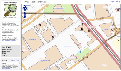
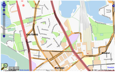
The last time I checked the status of Helsinki on OSM, it was already a bit promising but very initial. Now I went browsing again, and the map starts to look quite complete:

In some things the map is already more complete than competitors like Google Maps. On OSM, depending on the renderer used, the map also contains details like locations of parking lots, pharmacies, ATMs and post boxes. Many restaurants, pubs and cafés are also shown.
That actually shows a strength of the OpenStreetMap approach: people can add the detail they need. There have been projects where different renderer configurations have been used to focus the map on the needs of a special group: for example wheelchair users are very interested in information like how steep some hills are or whether a street is covered in cobblestones.
Showing information like that with a centralized big map provider like Google or Yahoo! would be difficult as it goes much further than just pushpins.
But still, there is much left to do:
- Some streets are marked with wrong turn restrictions or one-way information
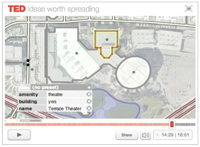
- Many major buildings still lack an outline
- More detail can be added: banks, ATMs, ...
- There are translation opportunities, including adding the stadin slangi names (name_loc) to various items on the map
In any case, I feel like the map is in a stage where it can be used for web purposes, and hopefully soon also for navigation software. It is a good time to learn the tools and start mapping!
Updated 2007-10-05: Just look at the level of detail here:
 Google Maps doesn’t even get close.
Technorati Tags: helsinki, openstreetmap

