Flight visualization with Google Earth

This is probably old news to many, but Google Earth is a very nice tool for visualizing flight track logs. I went yesterday to the Helsinki-Malmi airport, intending to go to the traffic circuit for some landing practice with the club’s “moped Cessna”. Instead, through the magic of the old airport, my plan was changed into flying another plane for maintenance to Joensuu, 500 kilometers away.
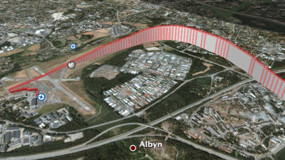
I had bought a BGT-11 GPS data logger mainly for OpenStreetMap surveying usage, and this proved to be a nice trip to really test it. I placed the device on top of the plane’s dashboard and just left it logging the whole trip. Later I converted the logs via GPSBabel to a format suitable for Google Earth. Here Google Earth is showing me take off from Malmi runway 36 and turn towards the DEGER reporting point:

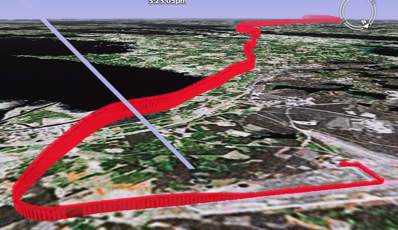
Approach from Liperi and landing at Joensuu runway 28:

Since Google Earth can also place photos I took on the flight to the map and “play” the flight, the GPS logs become a very nice way to tell trip stories. I will definitely keep taking the logger with me on future trips. There even is a solar charger to keep it running.
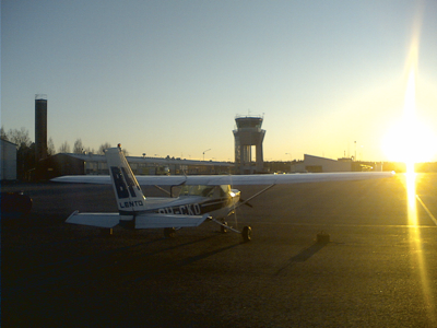
The flight was very nice also without the techie aspect. Weather was clear and beautiful and the flight over the lake district with the sun hanging already low, gilding the numerous lakes was memorable. Here is the Joensuu airport at sunset:

Technorati Tags: aviation, efhf, googleearth